


dave johnston
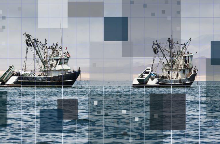
The Rise of the Science Aviator
How robots and remote sensors are revolutionizing marine science and conservation, providing invaluable counting and tracking data, one byte-sized chunk at a time.

zackary johnson
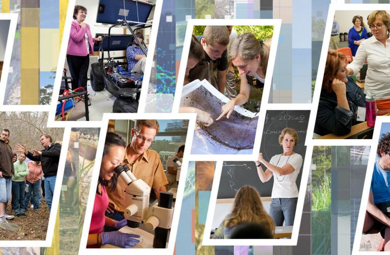
From Green Algae to Green Biofuel
Since the 1970s, researchers have been saying biofuel and food derived from marine microalgae could be the next big green breakthrough. The problem is, they’ve never cracked the code of how to scale up its production while ramping down the price.
Zackary Johnson is on the job.
Johnson, associate professor of molecular biology in marine science, leads the Marine Algae Industrialization Consortium (MAGIC), a university-industry research collaboration headquartered at the Duke Marine Lab in Beaufort.
Much of Johnson and his colleagues’ work focuses on finding ways to drive down the production cost of algae-derived biofuel by maximizing the value of the protein-rich biomass left over after the algae’s oil is extracted to make the fuel. Their research has shown the protein could be used in fish, poultry and swine feed and as a substitute for whey in human foods, and may potentially have greater value than the oil.
Fueled by these findings, they’re also exploring solutions to broader challenges. One recent paper identified negative-emissions technologies that could increase industrial-scale microalgae production facilities’ carbon capture and storage capabilities and eliminate their need for electricity derived from fossil fuels.
Read more stories featured in the Duke Environment Magazine Fall 2021: 30th Anniversary Issue.


Tim Lucas
(919) 613-8084
tdlucas@duke.edu